The Hull Data Observatory has been updated with the data from the Demography and Migration topic summary from Census 2021.
This adds nearly 1,500 new indicators to the site, with data available at the geographies it has been published for by ONS:
- Country
- Region
- Local Authority
- Lower Tier Local Authority
- Middle Layer Super Output Area
- Lower Layer Super Output Area
To display the LSOA level data we have added a new core geography to the National Data Service called LSOA 2021.
Although ONS did not publish data at ward level, we have been able to generate values at this level by aggregating values from OA area using a best fit method (population weighted centroids).
These new indictors are all located under the Population theme, and organised into subthemes that reflect the census table that they were sourced from. We have retained the structure the data were published in, and have also retained the name of the census table in the theme names and indicator names. This is helpful for users that are familiar with the way the census data is organised and/or the names of the tables.
Under each top level theme in the National Data Service, the old data from Census 2011 have been moved into a subtheme labelled Census 2011, to avoid confusion with the 2021 data.
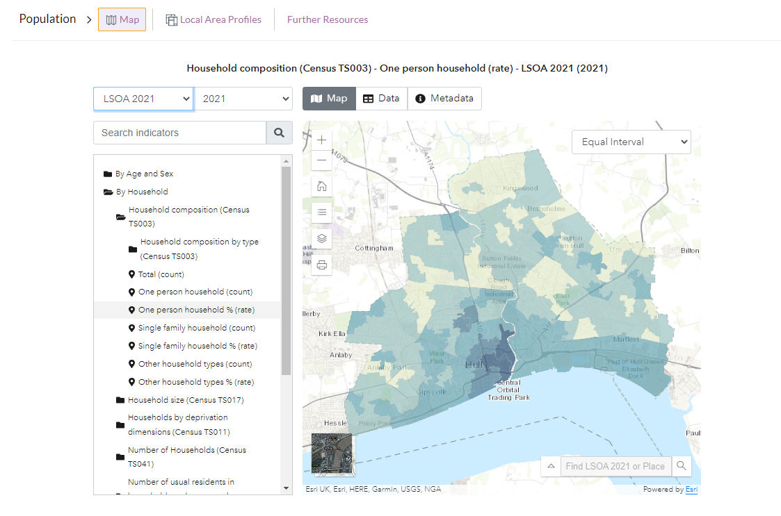
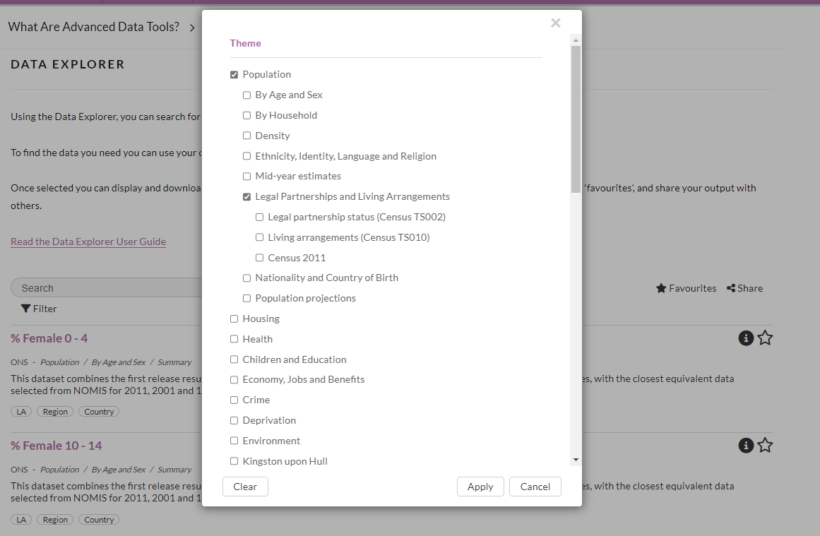
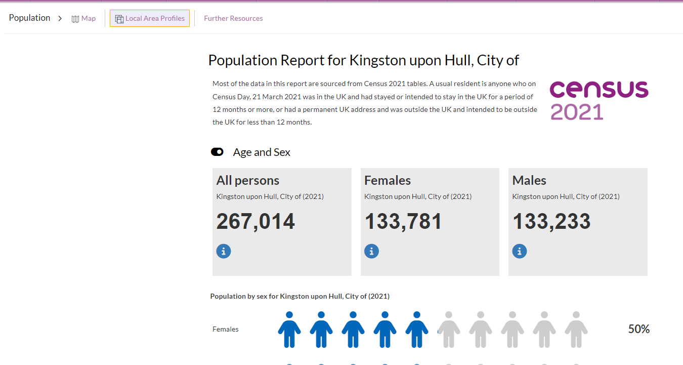
The data are displayed in the following places:
1) Population Map Explorer

2) Data Explorer

The pre-defined reports in the Population theme will be updated this week to include selected indicators from the Demography and migration topic.
We will be adding data for the UK armed forces veterans and Ethnic group, national identity, language and religion topic summaries, which are the two other topic summaries published by ONS, in the next few weeks.
3) Local Authority Population Reports

We will be adding data for the UK armed forces veterans and Ethnic group, national identity, language and religion topic summaries, which are the other topic summaries that have been published by ONS at time of writing, in the next few weeks.
